
UAV / Drone Survey
ED&MG uses Mavic Pro and Mavic Mini drones to capture aerial visual context for industrial assets, construction areas and difficult-to-access zones. This supports engineering teams with safer visual inspection, progress records and better technical documentation before or alongside detailed modelling and laser scanning work.
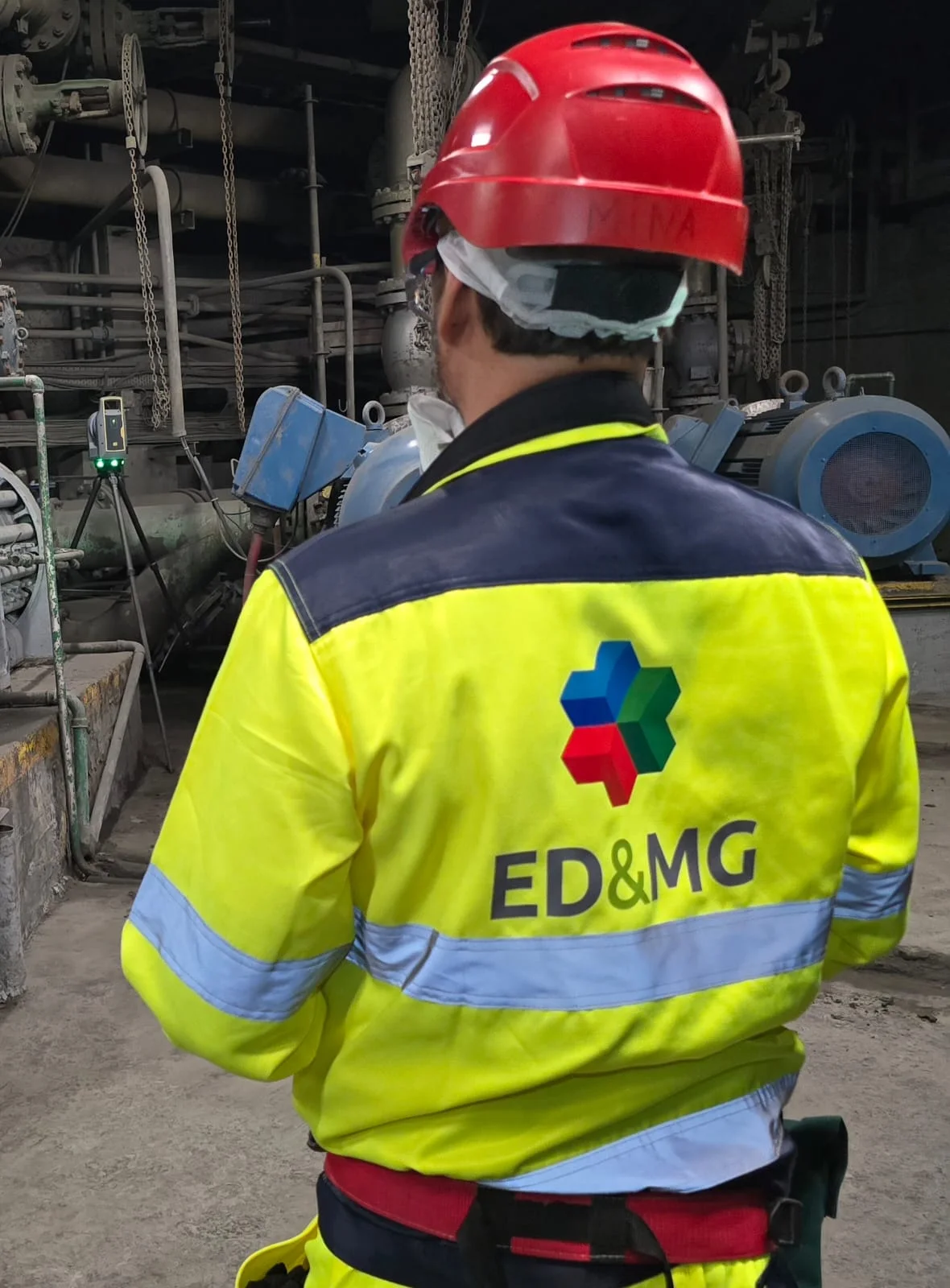
Aerial field capture
Selected services
Aerial visual inspection and site-context capture with Mavic Pro and Mavic Mini drones, supporting technical surveys, progress monitoring and project documentation.
Aerial visual inspection
Site context capture
Construction progress records
Access and asset review
Photo and video documentation
Support to 3D and technical documentation
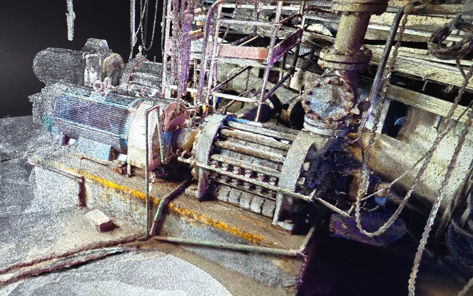
Aerial capture
Aerial context for safer technical decisions
Drone capture supports visual inspection, access planning, construction monitoring and technical documentation before or alongside detailed engineering surveys.
Plan flight
Capture visual context
Review access and asset conditions
Document findings
Outcome
Outcomes
The objective is to make technical information more reliable, verifiable and useful for client teams.
Safer visual access to difficult areas
Better project and site context
More complete technical documentation
ED&MG
Need support with UAV / Drone Survey?
Share the technical context, existing tools and expected deliverables. ED&MG will help define the most pragmatic path.