
Laser Scanning & Reality Capture
Accurate capture reduces uncertainty before engineering decisions are made. ED&MG converts site reality into point clouds, validation data and engineering-ready references for BIM, AVEVA and Digital Twin workflows.
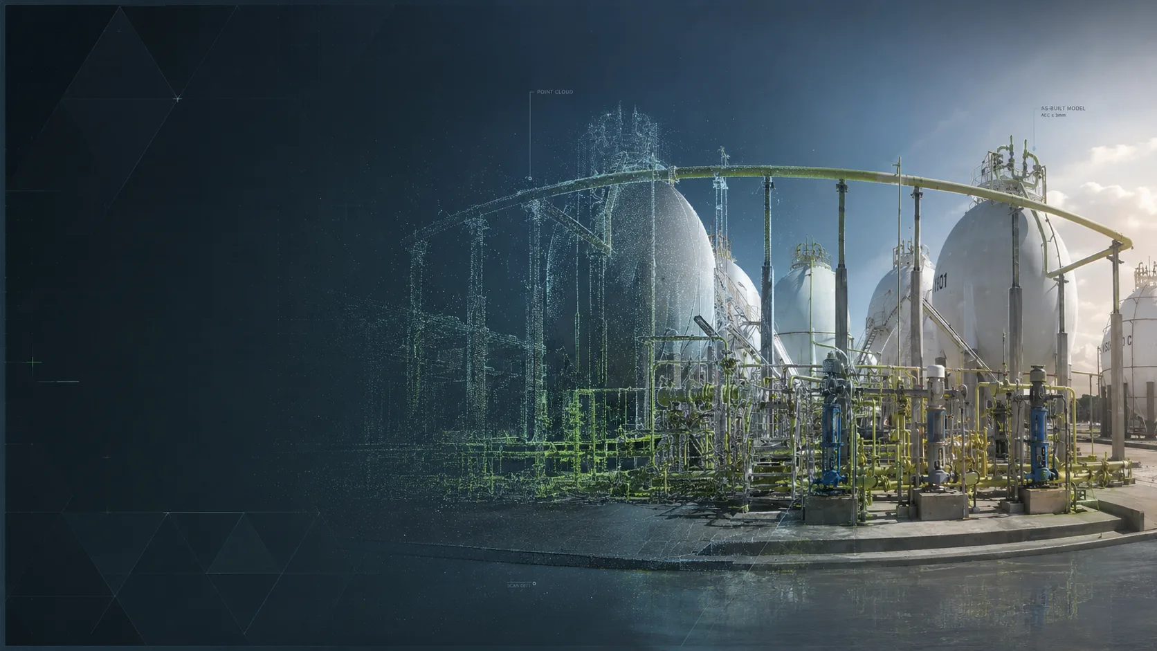
Field reality
Selected services
High-definition reality capture and point-cloud processing for industrial assets, underground galleries, equipment verification and as-built validation.
Laser scanning
Point-cloud processing
Scan-to-BIM
Scan-to-E3D
As-built validation
Dimensional control
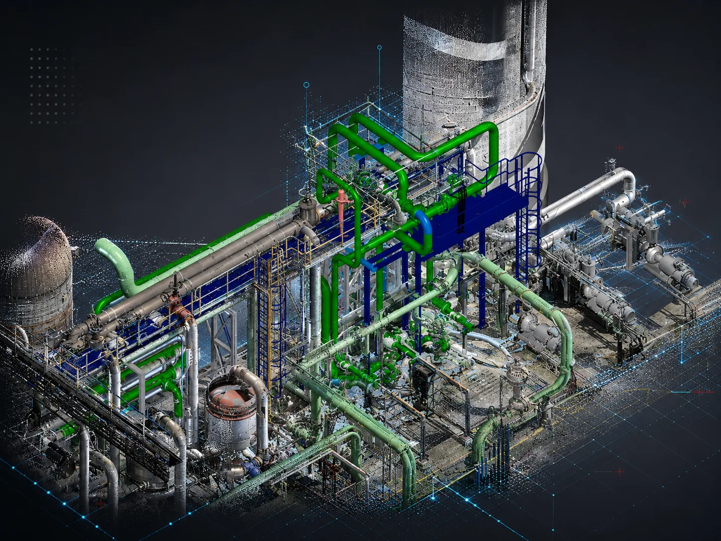
Point cloud
From point clouds to engineering-ready models
Reality capture becomes a technical reference for as-built validation, dimensional control, BIM, AVEVA and Digital Twin workflows.
Field scan
Point cloud
As-built validation
Engineering model
Outcome
Outcomes
The objective is to make technical information more reliable, verifiable and useful for client teams.
Reduced site uncertainty
Accurate geometry references
Better deviation control
ED&MG
Need support with Laser Scanning & Reality Capture?
Share the technical context, existing tools and expected deliverables. ED&MG will help define the most pragmatic path.